
Image: Chillagoe Railway and Mining Co. railway map
Size of this preview: 446 × 599 pixels. Other resolutions: 179 × 240 pixels | 3,681 × 4,942 pixels.
Original image (3,681 × 4,942 pixels, file size: 2.64 MB, MIME type: image/jpeg)
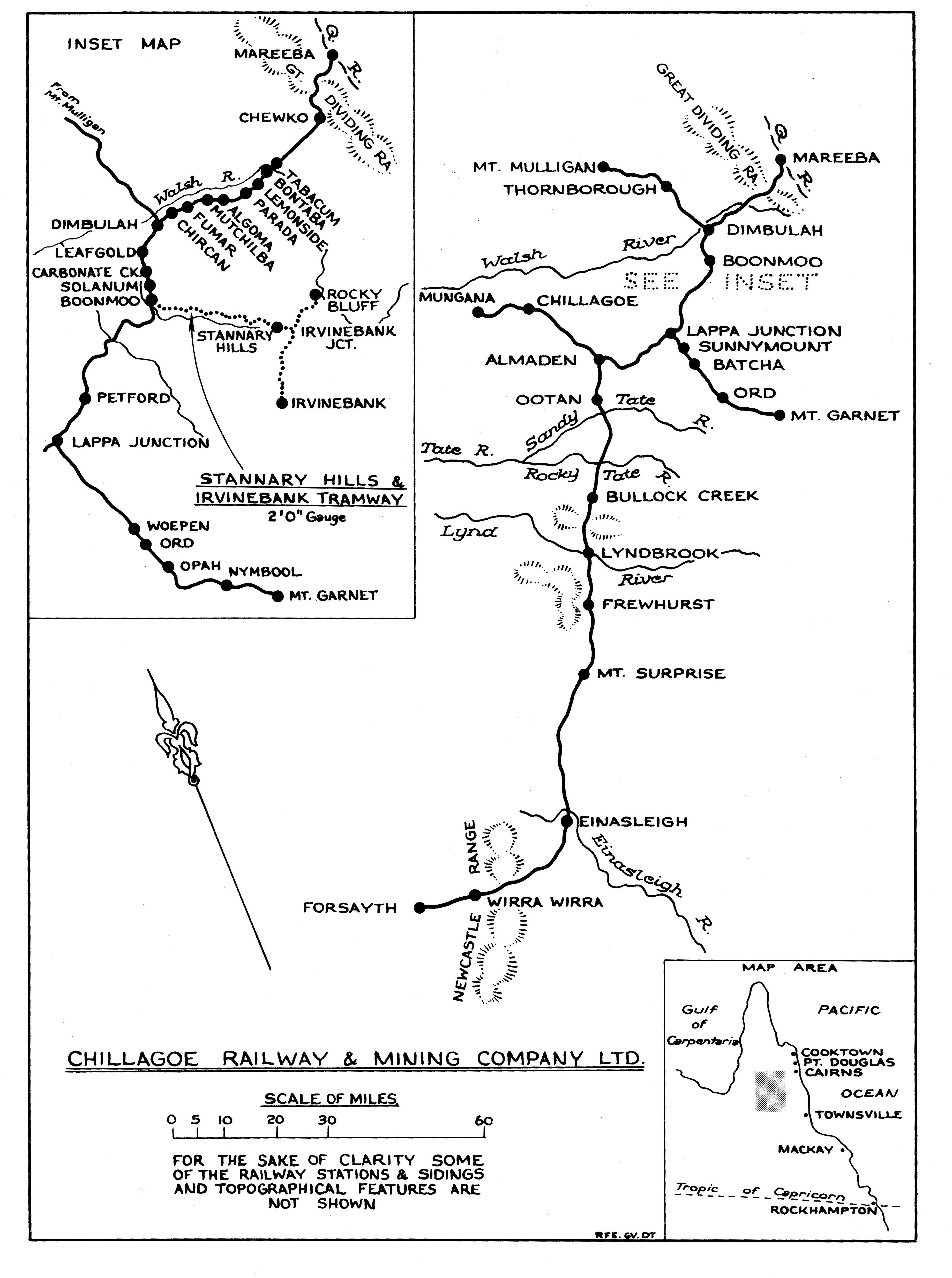
Description: Chillagoe Railway and Mining Co. railway map from 1898 to 1960. Showing from Mareeba where the Queensland Government Railways finished and the then private railway of Chillagoe Railway and Mining Co. started
Title: Chillagoe Railway and Mining Co. railway map
Credit: Queensland Archives
Author: Queensland Government Department of Transport
Permission: Map of Chillagoe & Herberton mining districts and railway line[1], s.n, 1898
Usage Terms: Public domain
License: Public domain
Attribution Required?: No
Image usage
The following 2 pages link to this image:

All content from Kiddle encyclopedia articles (including the article images and facts) can be freely used under Attribution-ShareAlike license, unless stated otherwise.