
Image: Chemosynthetic communities in the Gulf of Mexico 2000
Size of this preview: 800 × 582 pixels. Other resolutions: 320 × 233 pixels | 2,588 × 1,884 pixels.
Original image (2,588 × 1,884 pixels, file size: 208 KB, MIME type: image/png)
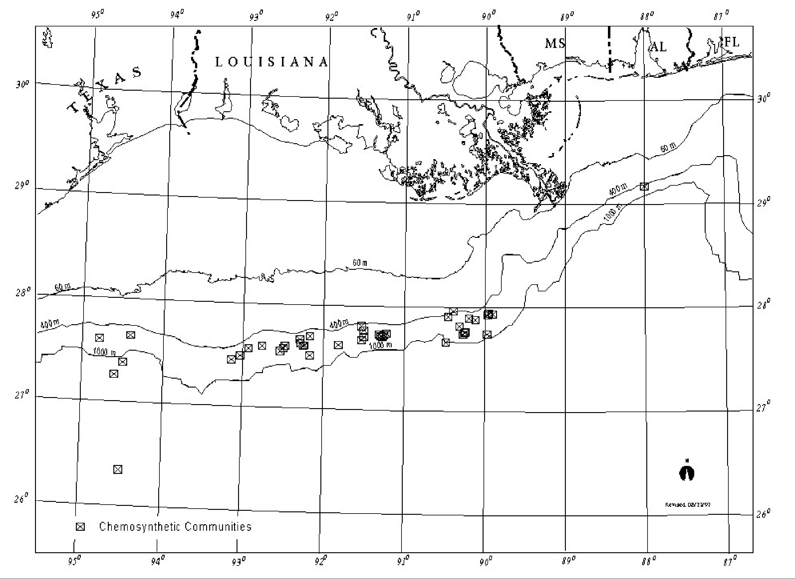
Description: Map of northern part of Gulf of Mexico showing locations of its chemosynthetic communities (around cold seeps) known in 2000.
Title: Chemosynthetic communities in the Gulf of Mexico 2000
Credit: Minerals Management Service. Gulf of Mexico OCS Region. (May 2000). Gulf of Mexico Deepwater Operations and Activities. Environmental Assessment. U.S. Department of the Interior, Minerals Management Service, Gulf of Mexico OCS Region, New Orleans. Figure IV-1.[1]
Author: Minerals Management Service. Gulf of Mexico OCS Region
Usage Terms: Public domain
License: Public domain
Attribution Required?: No
Image usage
The following page links to this image:

All content from Kiddle encyclopedia articles (including the article images and facts) can be freely used under Attribution-ShareAlike license, unless stated otherwise.