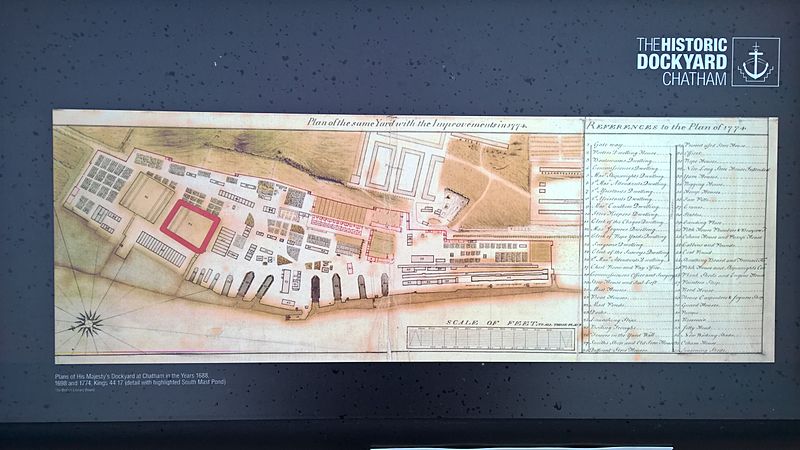
Image: Chatham Dockyard Map 1774

Size of this preview: 800 × 450 pixels. Other resolutions: 320 × 180 pixels | 5,376 × 3,024 pixels.
Original image (5,376 × 3,024 pixels, file size: 4.51 MB, MIME type: image/jpeg)
Description: The information panel is located in the car park, built on the site of the South Mast Pond (which is shown highlighted on the reproduced plan). The original is in the British Library (King's 44 17).
Title: Chatham Dockyard Map 1774
Credit: Own work
Author: Barabbas1312
Usage Terms: Creative Commons Attribution-Share Alike 4.0
License: CC BY-SA 4.0
License Link: https://creativecommons.org/licenses/by-sa/4.0
Attribution Required?: Yes
Image usage
The following page links to this image:

All content from Kiddle encyclopedia articles (including the article images and facts) can be freely used under Attribution-ShareAlike license, unless stated otherwise.
