
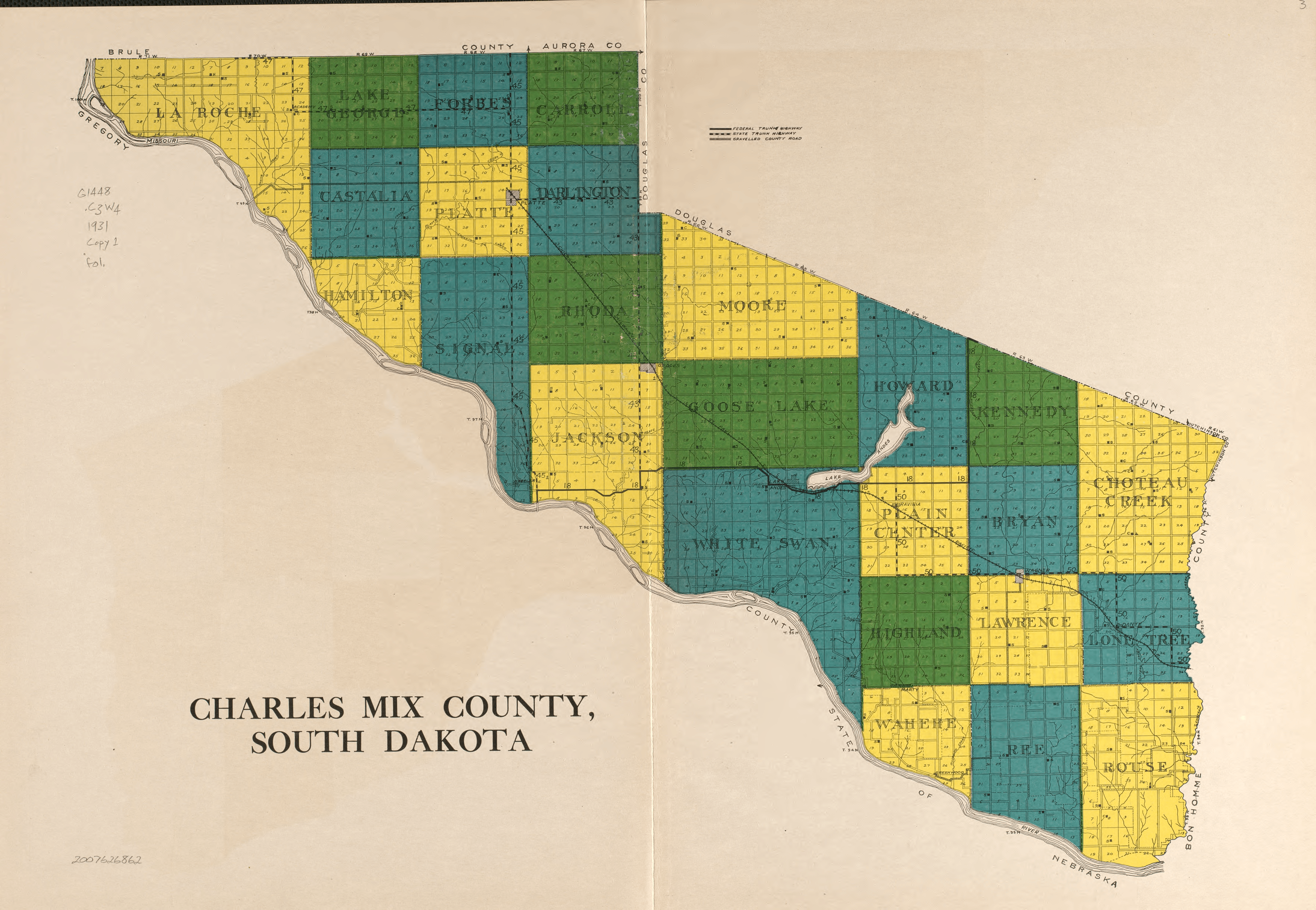
Image: Charles Mix County townships (1931)
Size of this preview: 800 × 553 pixels. Other resolutions: 320 × 221 pixels | 3,556 × 2,460 pixels.
Original image (3,556 × 2,460 pixels, file size: 14.35 MB, MIME type: image/png)
Description: Atlas and farmers' directory of Charles Mix County, South Dakota. Map of Charles Mix County, South Dakota detailing its civil townships in 1931.
Title: Charles Mix County townships (1931)
Credit: Library of Congress Geography and Map Division[1]
Author: Webb Publishing Co.
Usage Terms: Public domain
License: Public domain
Attribution Required?: No
Image usage
The following page links to this image:

All content from Kiddle encyclopedia articles (including the article images and facts) can be freely used under Attribution-ShareAlike license, unless stated otherwise.
.png)