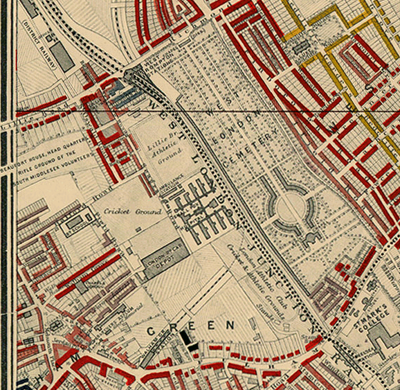
Image: Charles Booth 1889 map - detail showing Lillie Bridge
Charles_Booth_1889_map_-_detail_showing_Lillie_Bridge.png (578 × 563 pixels, file size: 264 KB, MIME type: image/png)
Description: Detail showing Lillie Bridge from Charles Booth's 1889 descriptive map of London poverty. Houses marked in red were "Middle-class. Well to do." Those in gold were "Upper-middle and Upper classes. Wealthy." These were the highest two of Booth's seven classifications.
Title: Charles Booth 1889 map - detail showing Lillie Bridge
Credit: http://www.umich.edu/~risotto/maxzooms/sw/swa910.html
Author: Charles Booth
Usage Terms: Public domain
License: Public domain
Attribution Required?: No
Image usage
The following page links to this image:

All content from Kiddle encyclopedia articles (including the article images and facts) can be freely used under Attribution-ShareAlike license, unless stated otherwise.

