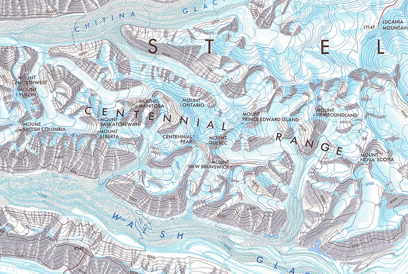
Image: CentennialRangeNRCmap cropped

Size of this preview: 800 × 539 pixels. Other resolutions: 320 × 216 pixels | 1,444 × 973 pixels.
Original image (1,444 × 973 pixels, file size: 2.21 MB, MIME type: image/jpeg)
Description: Cropped Map of the Centennial Range, Yukon, Canada. From Government of Canada; Natural Resources Canada; Earth Sciences Sector; The Atlas of Canada. Series:Atlas of Canada, Various, 1965 to 2006. Issue:MCR 0007
Title: CentennialRangeNRCmap cropped
Credit: This file was derived from: CentennialRangeNRCmap.jpg:
Author: CentennialRangeNRCmap.jpg: "© Department of Natural Resources Canada. All rights reserved." derivative work: The Interior
License: Attribution
Image usage
The following page links to this image:

All content from Kiddle encyclopedia articles (including the article images and facts) can be freely used under Attribution-ShareAlike license, unless stated otherwise.
