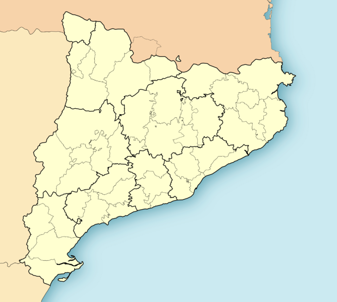
Image: Catalonia location map 2023 vegueries

Description: Location map of Catalunya. Equirectangular projection, N/S stretched 130%. Map geographic limits: * N: 42.99° N * S: 40.405° N * W: 0.55° O * E: 4.02° O. The division includes the counties of Moianès and Lluçanès, created the years 2015 and 2023, and the vegueries, following the vegueries law of July 2010, updated in 2017.
Title: Catalonia location map 2023 vegueries
Credit: Catalonia_location_map.svg
Author: Catalonia_location_map.svg: CatalunyaLoc.svg: HansenBCN derivative work: Xfigpower (pssst) derivative work: LunaValoäa
Usage Terms: Creative Commons Zero, Public Domain Dedication
License: CC0
License Link: http://creativecommons.org/publicdomain/zero/1.0/deed.en
Attribution Required?: No
Image usage
The following 23 pages link to this image:
- Abella de la Conca
- Alins
- Alt Àneu
- Badalona
- El Pont de Suert
- Espot
- Esterri d'Àneu
- Esterri de Cardós
- Figueres
- L'Hospitalet de Llobregat
- La Seu d'Urgell
- La Vall de Boí
- Lleida
- Mataró
- Monistrol de Montserrat
- Reus
- Sant Vicenç de Castellet
- Santa Coloma de Gramenet
- Tarragona
- Terrassa
- Valls
- Vilafranca del Penedès
- Vilaller

