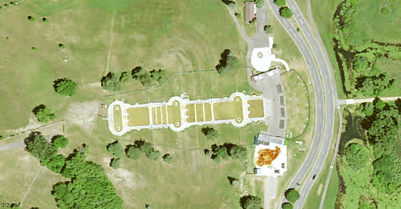
Image: Cascade Falls sat view 2020

Size of this preview: 800 × 418 pixels. Other resolutions: 320 × 167 pixels | 1,786 × 933 pixels.
Original image (1,786 × 933 pixels, file size: 263 KB, MIME type: image/jpeg)
Description: Satellite view of the Cascade Falls, now closed. We can also see the fence around the structure.
Title: Cascade Falls sat view 2020
Credit: US National Map program, https://viewer.nationalmap.gov/advanced-viewer/viewer/index.html?marker=-84.43375%2C42.22952%2C4326%2Cfrom%20Cascade_Falls_(Jackson%2C_Michigan)%2C%2CCascade%20Falls%20(Jackson%2C%20Michigan)&scale=10000&extent=-9399429.1701%2C5195258.9735%2C-9398664.7998%2C5195580.2479%2C102100
Author: USDA
Usage Terms: Public domain
License: Public domain
Attribution Required?: No
Image usage
The following page links to this image:

All content from Kiddle encyclopedia articles (including the article images and facts) can be freely used under Attribution-ShareAlike license, unless stated otherwise.
