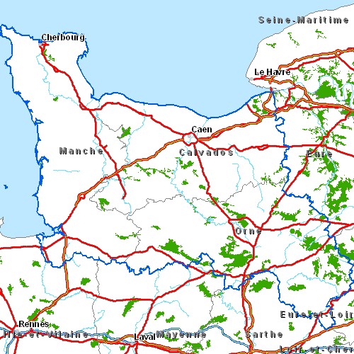
Image: CarteregionBasseNormandie
CarteregionBasseNormandie.jpg (500 × 500 pixels, file size: 112 KB, MIME type: image/jpeg)
Description: Carte routière de la région Basse-Normandie Légende :
Title: CarteregionBasseNormandie
Credit: Cette carte est généreusement fournie par l'IAAT (Institut atlantique d'aménagement du territoire). From French Wiki, uploaded there by fr:Utilisateur:Archeos on 6-may-05
Author: IAAT
Permission: Je la place comme convenu avec eux sous licence GFDL
Usage Terms: Creative Commons Attribution-Share Alike 3.0
License: CC-BY-SA-3.0
License Link: http://creativecommons.org/licenses/by-sa/3.0/
Attribution Required?: Yes
Image usage
The following page links to this image:

All content from Kiddle encyclopedia articles (including the article images and facts) can be freely used under Attribution-ShareAlike license, unless stated otherwise.

