
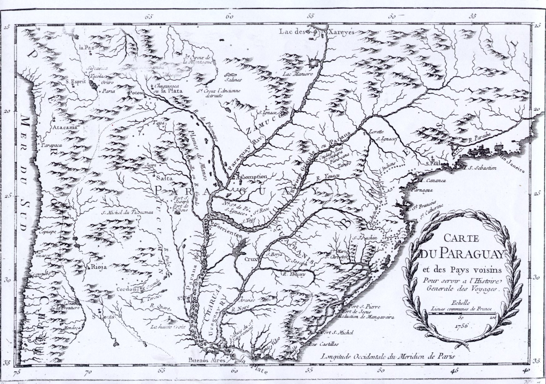
Image: Carte du paraguay et del pays voisins Echelle 1756
Size of this preview: 800 × 563 pixels. Other resolutions: 320 × 225 pixels | 1,749 × 1,230 pixels.
Original image (1,749 × 1,230 pixels, file size: 532 KB, MIME type: image/jpeg)
Description: Map of Paraguay and surrounding countries, anno 1756
Title: Carte du paraguay et del pays voisins Echelle 1756
Credit: http://www.bvp.org.py/mapas/paraguay2.htm
Author: Echelle
Permission: PD
Usage Terms: Public domain
License: Public domain
Attribution Required?: No
Image usage
The following page links to this image:

All content from Kiddle encyclopedia articles (including the article images and facts) can be freely used under Attribution-ShareAlike license, unless stated otherwise.