
Image: Canada provinces 1874-1876
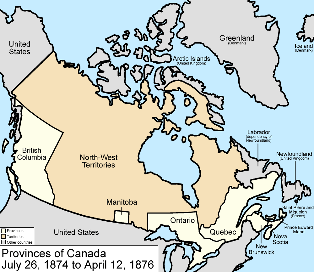
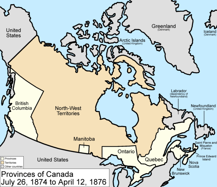
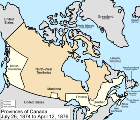
Description: Map of the provinces and territories of Canada as they were from 1874 to 1876. On July 26 1874, the borders of Ontario were provisionally expanded north and west, anticipating future settlement, taking land from the North-West Territories. On April 12 1876, the District of Keewatin was cleaved from the North-West Territories. Made by User:Golbez.
Title: Canada provinces 1874-1876
Credit: No machine-readable source provided. Own work assumed (based on copyright claims).
Author: No machine-readable author provided. Golbez assumed (based on copyright claims).
Usage Terms: Creative Commons Attribution 2.5
License: CC BY 2.5
License Link: https://creativecommons.org/licenses/by/2.5
Attribution Required?: Yes
Image usage
The following page links to this image:
