
Image: Canada North South Regions StatCan
Size of this preview: 720 × 600 pixels. Other resolutions: 288 × 240 pixels | 2,700 × 2,250 pixels.
Original image (2,700 × 2,250 pixels, file size: 78 KB, MIME type: image/png)
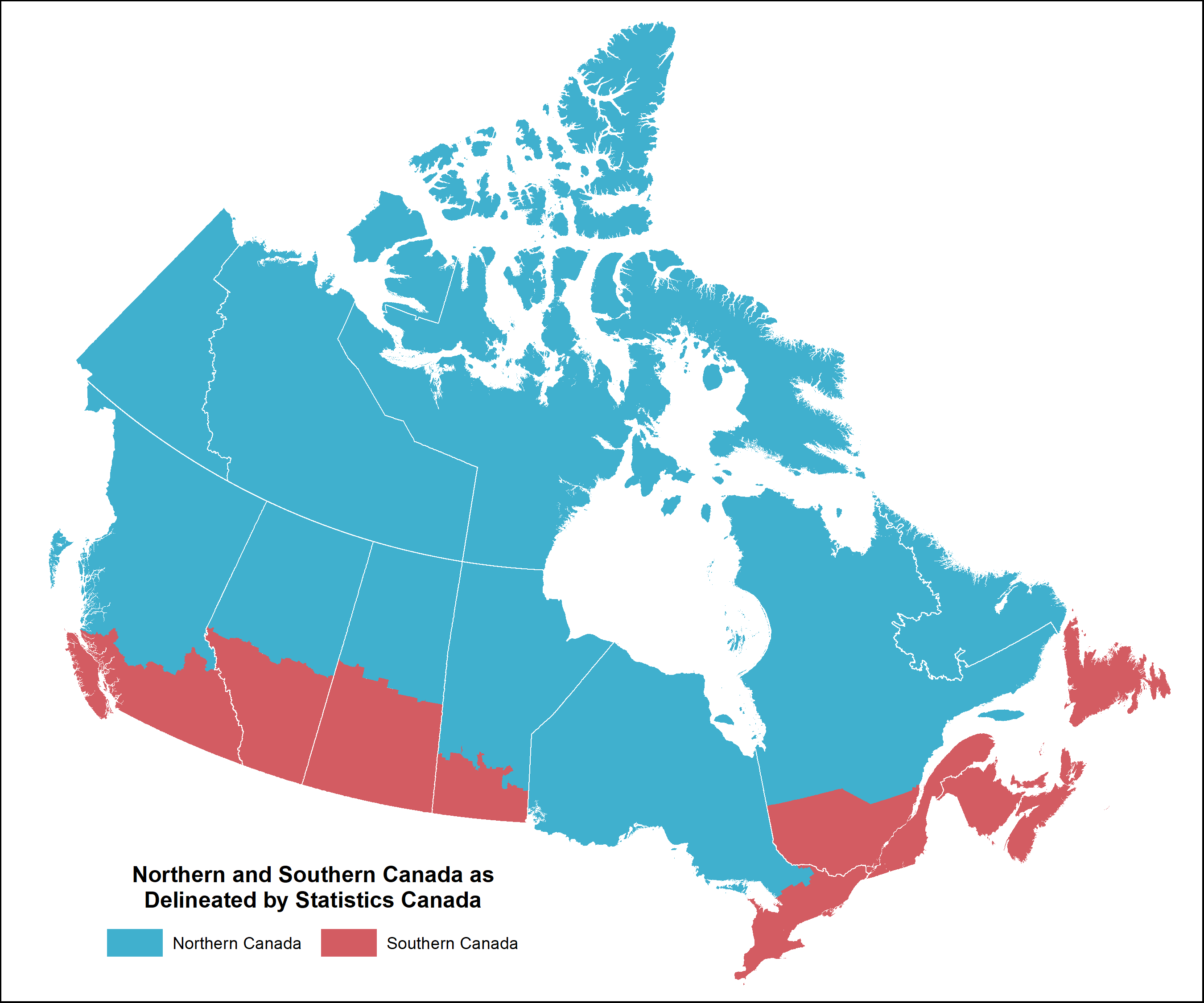
Description: This is an illustration of how Statistics Canada (StatCan) delineates the limits of northern and southern Canada. StatCan's source map is found at https://www150.statcan.gc.ca/n1/daily-quotidien/190704/mc-a001-eng.htm. StatCan's census consolidated subdivision cartographic boundaries were used to produce the illustration.
Title: Canada North South Regions StatCan
Credit: Own work
Author: Hwy43
Usage Terms: Creative Commons Attribution 4.0
License: CC BY 4.0
License Link: https://creativecommons.org/licenses/by/4.0
Attribution Required?: Yes
Image usage
The following page links to this image:

All content from Kiddle encyclopedia articles (including the article images and facts) can be freely used under Attribution-ShareAlike license, unless stated otherwise.