Image: Canada.A2002236.1810.721.250m-002
Canada.A2002236.1810.721.250m-002.jpg (397 × 398 pixels, file size: 72 KB, MIME type: image/jpeg)
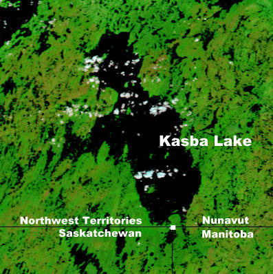
Description: Portion of NASA map showing Kasba Lake in the Northwest Territories and Nunavut near the Saskatchewan and Manitoba borders. (Captions have been added by Kayoty)
Title: Canada.A2002236.1810.721.250m-002
Credit: Nasa Visible Earth
Author: Jacques Descloitres, MODIS Land Rapid Response Team, NASA/GSFC
Usage Terms: Public domain
License: Public domain
Attribution Required?: No
Image usage
The following page links to this image:

All content from Kiddle encyclopedia articles (including the article images and facts) can be freely used under Attribution-ShareAlike license, unless stated otherwise.

