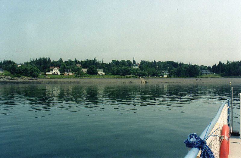
Image: Campobello Island (3746650639)

Description: Heading for the landing beach. Campobello Island is a Canadian island located at the entrance to Passamaquoddy Bay, adjacent to the entrance to Cobscook Bay, and within the Bay of Fundy. The island is part of Charlotte County, New Brunswick but is actually physically connected by the Franklin Delano Roosevelt Bridge with Lubec, Maine - the easternmost tip of the continental United States. Measuring 14 kilometres (8.7 mi) long and about 5 kilometres (3.1 mi) wide, it has an area of 39.6 square kilometres (15.3 sq mi). In addition to the Lubec bridge, the island is accessible in the summer months by an automobile ferry from nearby Deer Island and from there via another ferry to mainland New Brunswick. The island's permanent population in 2001 was 1,195. The majority of residents are employed in the fishing/aquaculture or tourism industries. The island was originally settled by the Passamaquoddy Nation, who called it Ebaghuit.
Title: Campobello Island (3746650639)
Credit: Campobello Island
Author: Leonora (Ellie) Enking from East Preston, United Kingdom
Usage Terms: Creative Commons Attribution-Share Alike 2.0
License: CC BY-SA 2.0
License Link: https://creativecommons.org/licenses/by-sa/2.0
Attribution Required?: Yes
Image usage
The following page links to this image:

