
Image: CFB Suffield map

Size of this preview: 777 × 599 pixels. Other resolutions: 311 × 240 pixels | 1,207 × 931 pixels.
Original image (1,207 × 931 pixels, file size: 208 KB, MIME type: image/png)
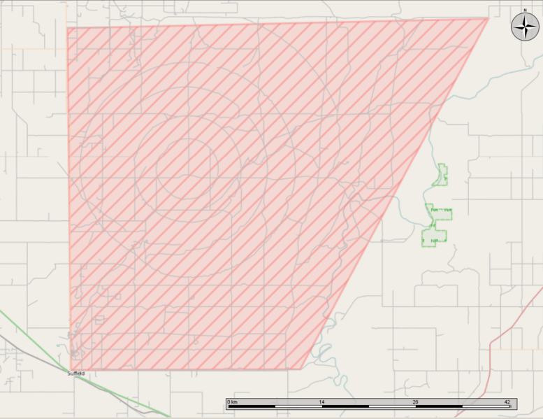
Description: Open Street Map showing CFB Suffield in Alberta. Note the scale bar at the bottom, the upper part of the base is over 40km long. Created in the Marble program, with cropping done in GIMP.
Title: CFB Suffield map
Credit: Own work
Author: Oaktree b
Usage Terms: Creative Commons Attribution-Share Alike 3.0
License: CC BY-SA 3.0
License Link: https://creativecommons.org/licenses/by-sa/3.0
Attribution Required?: Yes
Image usage
The following page links to this image:

All content from Kiddle encyclopedia articles (including the article images and facts) can be freely used under Attribution-ShareAlike license, unless stated otherwise.