
Image: CA Route 152 Realignment 1939
Size of this preview: 800 × 320 pixels. Other resolutions: 320 × 128 pixels | 1,447 × 579 pixels.
Original image (1,447 × 579 pixels, file size: 347 KB, MIME type: image/png)
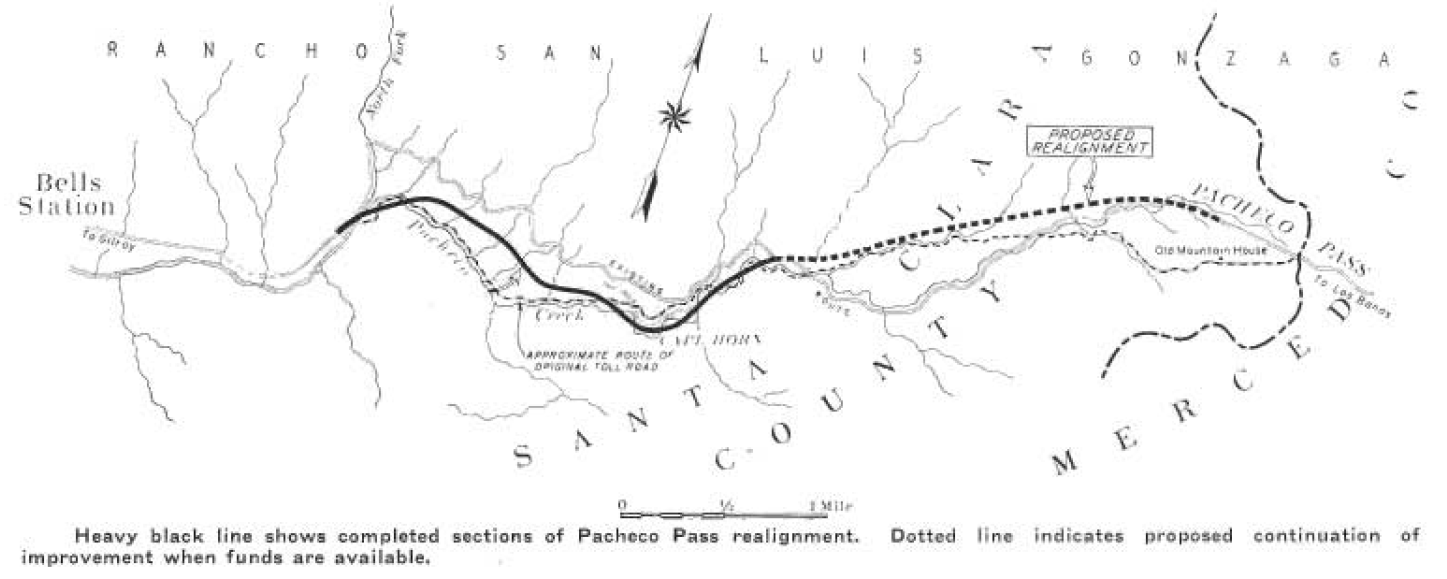
Description: Map of 1939 realignment of California State Route 152.
Title: CA Route 152 Realignment 1939
Credit: http://libraryarchives.metro.net/DPGTL/Californiahighways/chpw_1939_sep.pdf
Author: H.S. Payson, Resident Engineer, Highways Division, Department of Public Works, State of California
Usage Terms: Public domain
License: Public domain
Attribution Required?: No
Image usage
The following page links to this image:

All content from Kiddle encyclopedia articles (including the article images and facts) can be freely used under Attribution-ShareAlike license, unless stated otherwise.