
Image: Bunbury Vol 2 Map 09 Ptolemy Britain p 584
Size of this preview: 708 × 600 pixels. Other resolutions: 284 × 240 pixels | 2,689 × 2,277 pixels.
Original image (2,689 × 2,277 pixels, file size: 764 KB, MIME type: image/jpeg)
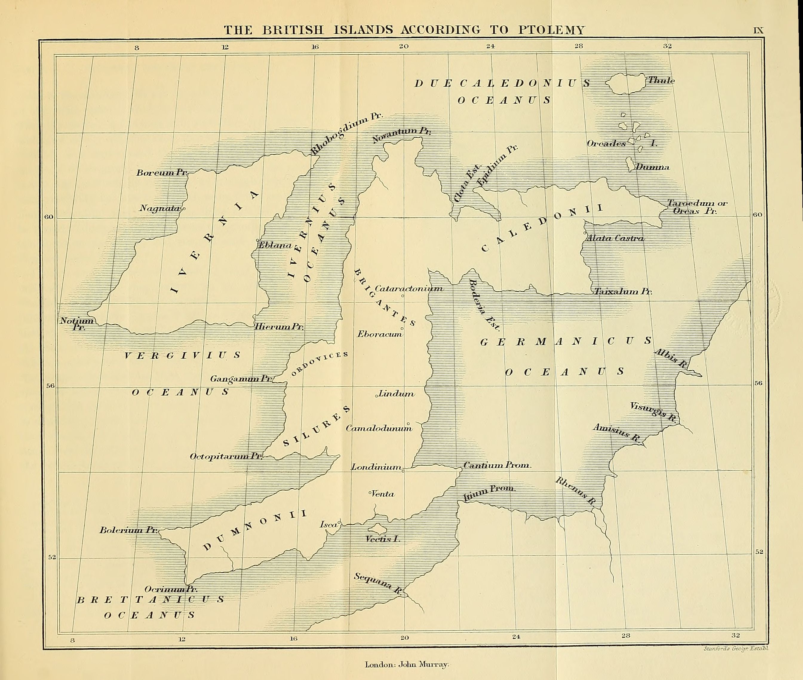
Description: Map of the British Isles according to Ptolemy, from Bunbury's A history of ancient geography among the Greeks and Romans, from the earliest ages till the fall of the Roman Empire
Title: Bunbury Vol 2 Map 09 Ptolemy Britain p 584
Credit: https://archive.org/details/historyofancient02bunb
Author: Edward Bunbury
Usage Terms: Public domain
License: Public domain
Attribution Required?: No
Image usage
The following page links to this image:

All content from Kiddle encyclopedia articles (including the article images and facts) can be freely used under Attribution-ShareAlike license, unless stated otherwise.