
Image: Buhr Park OpenStreetMap
Size of this preview: 606 × 600 pixels. Other resolutions: 243 × 240 pixels | 1,056 × 1,045 pixels.
Original image (1,056 × 1,045 pixels, file size: 450 KB, MIME type: image/png)
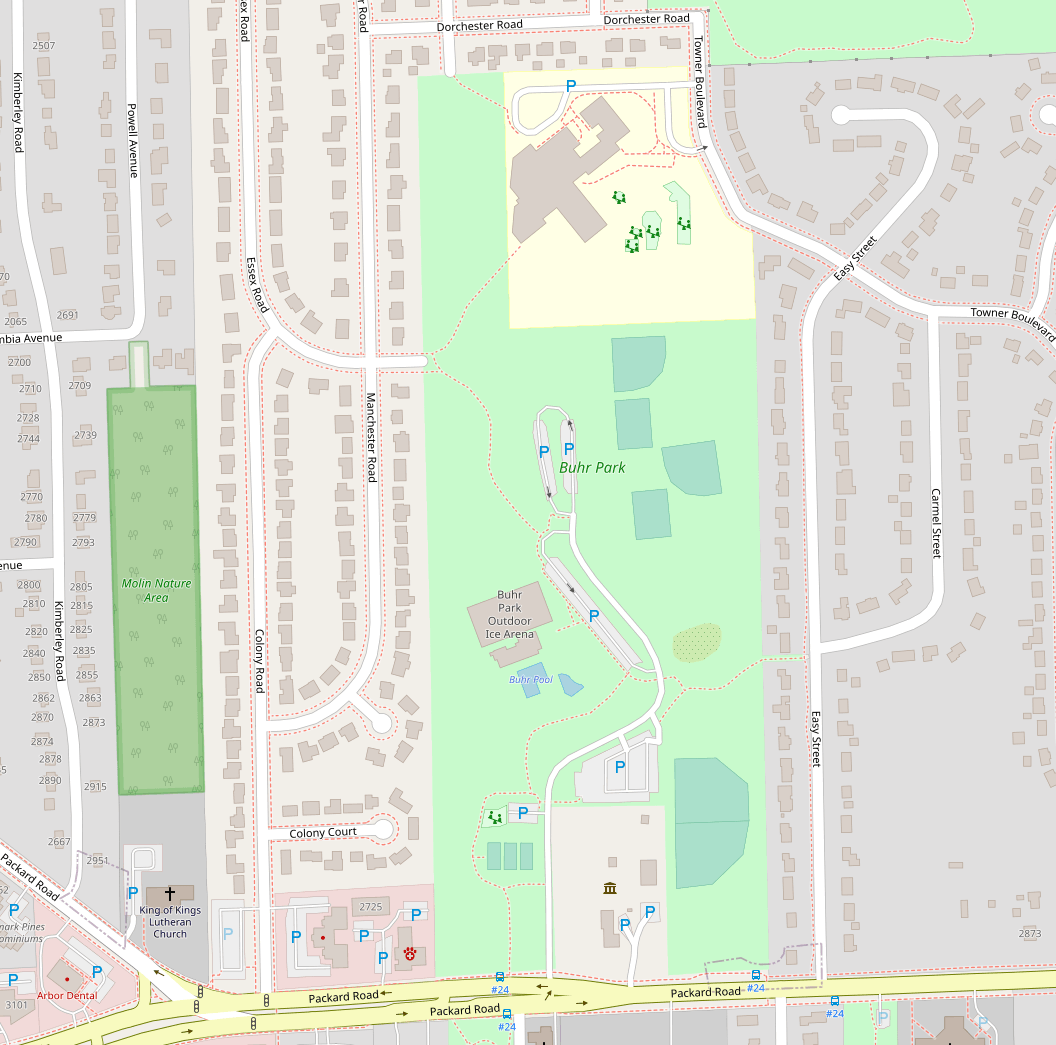
Description: A map of Buhr Park in Ann Arbour, Michigan, created by the OpenStreetMap community.
Title: Buhr Park OpenStreetMap
Credit: www.openstreetmap.org
Author: OpenStreetMap contributors
Usage Terms: Creative Commons Attribution-Share Alike 2.5
License: CC BY-SA 2.5
License Link: https://creativecommons.org/licenses/by-sa/2.5
Attribution Required?: Yes
Image usage
The following page links to this image:

All content from Kiddle encyclopedia articles (including the article images and facts) can be freely used under Attribution-ShareAlike license, unless stated otherwise.