Image: Brothock Burn - geograph.org.uk - 725569
Brothock_Burn_-_geograph.org.uk_-_725569.jpg (640 × 480 pixels, file size: 94 KB, MIME type: image/jpeg)
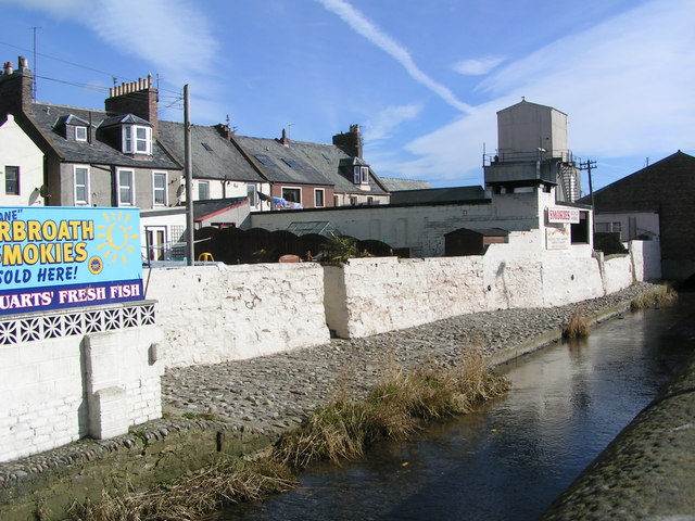
Description: Brothock Burn The Brothock Burn runs parallel to the edge of the harbour here. At the "fit 'o the toon" the traditional home of the fishers, there are still several families with smokehouses in back gardens to produce the Arbroath Smokie.
Title: Brothock Burn - geograph.org.uk - 725569
Credit: From geograph.org.uk
Author: Karen Vernon
Usage Terms: Creative Commons Attribution-Share Alike 2.0
License: CC BY-SA 2.0
License Link: https://creativecommons.org/licenses/by-sa/2.0
Attribution Required?: Yes
Image usage
The following page links to this image:

All content from Kiddle encyclopedia articles (including the article images and facts) can be freely used under Attribution-ShareAlike license, unless stated otherwise.

