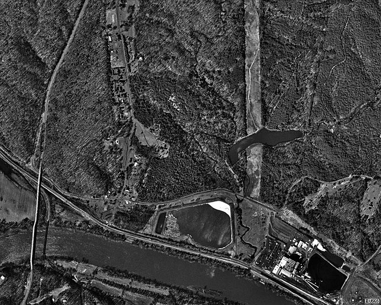
Image: Bremo Bluff, Virginia USGS 1994

Description: Aerial photo of the unincorporated town of Bremo Bluff, Virginia (U.S. Census class code U6) on the Northern side of the James River in 1994. The North/South road at the left side of the image is U.S. Route 15. The route running along the Northern bank of the river is the James River line, presently owned by CSX Transportation. The complex near the bottom right corner of the image is the Bremo Power Station, owned by Dominion Resources.
Title: Bremo Bluff, Virginia USGS 1994
Credit: USGS The National Map, via MSR Maps (formerly TerraServer-USA)
Author: The National Map, United States Geological Survey
Permission: Public domain
Usage Terms: Public domain
License: Public domain
Attribution Required?: No
Image usage
The following page links to this image:

