
Image: Boundary Stone (District of Columbia) SE 5
Size of this preview: 799 × 599 pixels. Other resolutions: 320 × 240 pixels | 2,521 × 1,891 pixels.
Original image (2,521 × 1,891 pixels, file size: 2.95 MB, MIME type: image/jpeg)
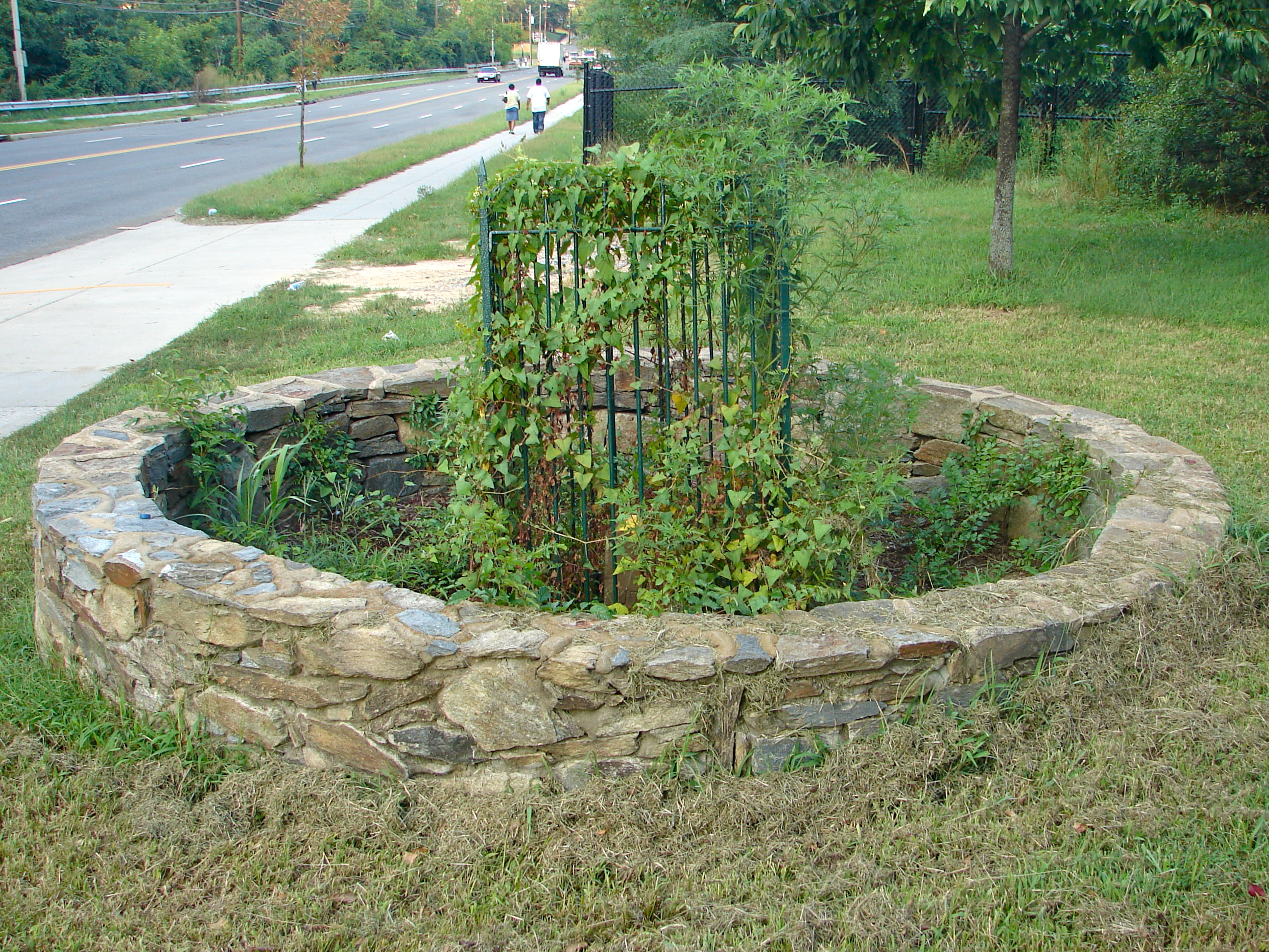
Description: Southeast No. 5 Boundary Marker of the Original District of Columbia on the NRHP since November 1, 1996, Located 280 ft. NE of jct. of Southern Ave. and the northern end of Valley Terrace. Also just north of the Southern Avenue Metro Station - but you have to walk south first to go around the fence and get on Southern Ave. Somebody might want to photograph this in the wintertime, when the stone is visible through the weeds!
Title: Boundary Stone (District of Columbia) SE 5
Credit: Own work
Author: Smallbones
Usage Terms: Creative Commons Zero, Public Domain Dedication
License: CC0
License Link: http://creativecommons.org/publicdomain/zero/1.0/deed.en
Attribution Required?: No
Image usage
The following 2 pages link to this image:

All content from Kiddle encyclopedia articles (including the article images and facts) can be freely used under Attribution-ShareAlike license, unless stated otherwise.
_SE_5.jpg)