
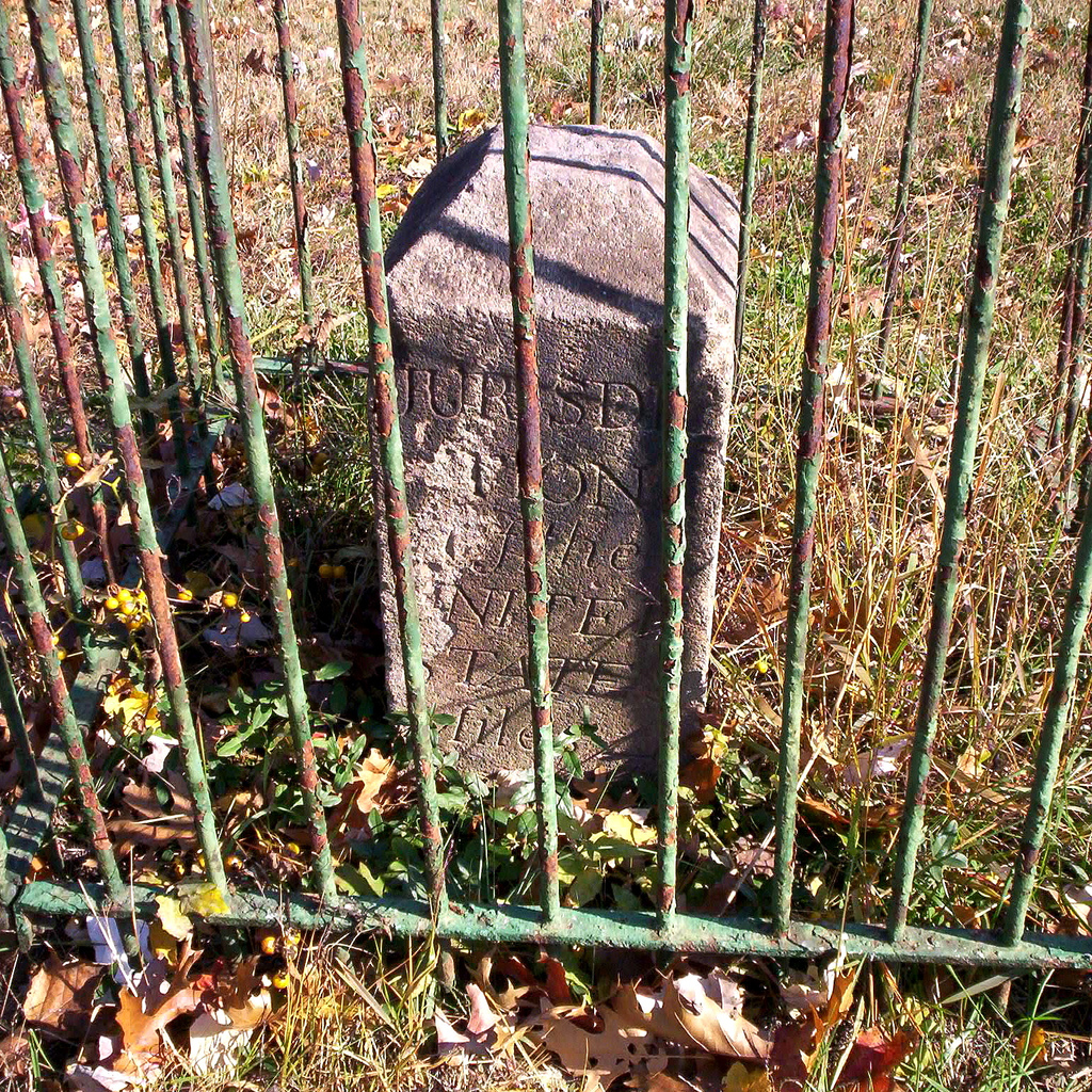
Image: Boundary Stone (District of Columbia) NE 4
Size of this preview: 600 × 600 pixels. Other resolutions: 240 × 240 pixels | 1,024 × 1,024 pixels.
Original image (1,024 × 1,024 pixels, file size: 1.14 MB, MIME type: image/jpeg)
Description: District of Columbia boundary stone NE 4, that is the stone 4 miles southeast of the northernmost corner of DC. Placed in 1791-1792 by Andrew Ellicott and Benjamin Banneker. See http://zhurnaly.com/maps/DC_Boundary_Stones.html for a map of these stones.
Author: zhurnaly (Mark Zimmermann)
Usage Terms: Creative Commons Attribution-Share Alike 3.0
License: CC-BY-SA-3.0
License Link: http://creativecommons.org/licenses/by-sa/3.0/
Attribution Required?: Yes
Image usage
The following image is a duplicate of this image (more details):
The following 4 pages link to this image:

All content from Kiddle encyclopedia articles (including the article images and facts) can be freely used under Attribution-ShareAlike license, unless stated otherwise.
_NE_4.jpg)