
Image: Boundary Channel - Potomac River - US Coastal Pilot 2013
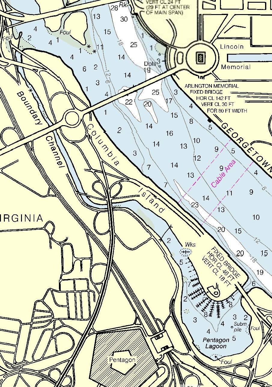
Description: Portion of a National Oceanic and Atmospheric Administration (NOAA) coastal navigation chart showing the Boundary Channel, Pentagon Lagoon, and Potomac River in Washington, D.C., in the United States. Depths (as of May 4, 2013) are shown. This image should not be used for navigation. Use the official, full scale NOAA nautical chart for real navigation whenever possible. Screen captures of online viewable charts do not fulfill chart carriage requirements for regulated commercial vessels under Titles 33 and 46 of the U.S. Code of Federal Regulations.
Title: Boundary Channel - Potomac River - US Coastal Pilot 2013
Credit: http://www.charts.noaa.gov/OnLineViewer/12289.shtml
Author: National Oceanic and Atmospheric Administration. U.S. Coastal and Great Lakes Nautical Charts. Chart: 12289, Side A, edition 50. May 4, 2013 .
Usage Terms: Public domain
License: Public domain
Attribution Required?: No
Image usage
The following page links to this image:
