
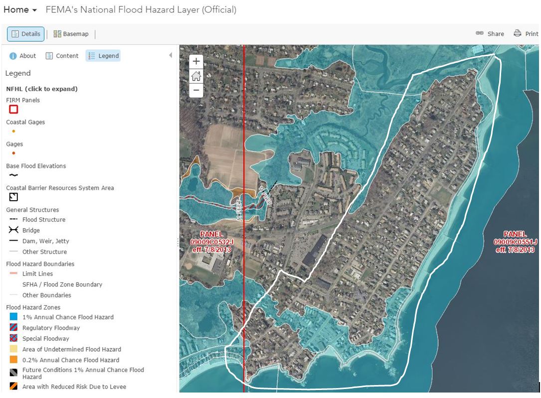
Image: Borough of Woodmont CT FEMA flood map 2013
Size of this preview: 800 × 589 pixels. Other resolutions: 320 × 236 pixels | 1,085 × 799 pixels.
Original image (1,085 × 799 pixels, file size: 166 KB, MIME type: image/jpeg)
Description: US Federal Emergency Management Agency (FEMA) 2013 Flood zone map of the Borough of Woodmont, CT
Title: Borough of Woodmont CT FEMA flood map 2013
Credit: http://arcg.is/28MwYAW
Author: US Dept of Homeland Security, FEMA
Usage Terms: Public domain
License: PD
Attribution Required?: No
Image usage
The following page links to this image:

All content from Kiddle encyclopedia articles (including the article images and facts) can be freely used under Attribution-ShareAlike license, unless stated otherwise.