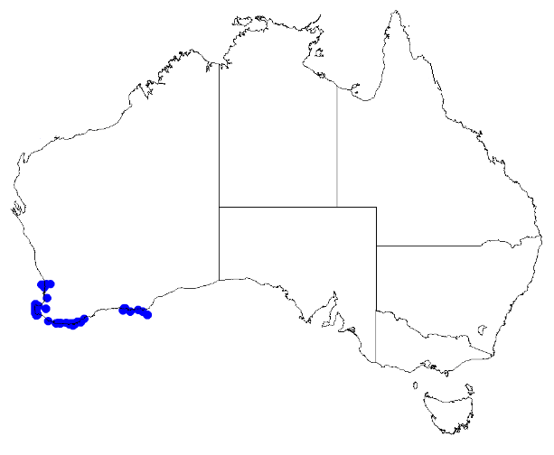
Image: Boronia alata DistMap2
Description: Boronia alata occurrence data downloaded from Australasian Virtual Herbarium 10 April 2019 using doi: https://doi.org/10.26197/5cacda08e37d9 This download included all the environmental overlay fields and ALA's data checking fields (over 600 fields) including "cultivated / escapee", "outside expert range for species", "latitude is negated", "coordinates are transposed", "taxon misidentified", "habitat incorrect for species", and "suspected outlier". Deleting occurrences for which any of the above were true, 46 specimens with coordinates were deleted. However this did not remove all obvious spatial outliers which were later removed by hand...
Title: Boronia alata DistMap2
Credit: Own work
Author: MargaretRDonald
Usage Terms: Creative Commons Attribution-Share Alike 4.0
License: CC BY-SA 4.0
License Link: https://creativecommons.org/licenses/by-sa/4.0
Attribution Required?: Yes
Image usage
The following page links to this image:


