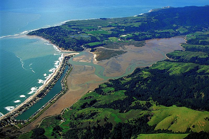
Image: Bolinas California aerial view

Description: Aerial view of Bolinas (mesa, top to top left), Duxbury Point (extending left from the mesa), Bolinas Bay (ocean) Bolinas lagoon (marshy area), Stinson Beach (left, with homes surrounding an enclosed body of water), Marin County, California, USA. View is to the west.
Title: Bolinas California aerial view
Credit: U.S. Army Corps of Engineers Digital Visual Library Image page Image description page Digital Visual Library home page
Author: U.S. Army Corps of Engineers, photographer not specified or unknown
Permission: This image or file is a work of a U.S. Army Corps of Engineers soldier or employee, taken or made as part of that person's official duties. As a work of the U.S. federal government, the image is in the public domain.
Usage Terms: Public domain
License: Public domain
Attribution Required?: No
Image usage
The following page links to this image:

