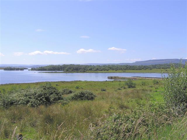
Image: BoaIslandShore
BoaIslandShore.jpg (640 × 479 pixels, file size: 53 KB, MIME type: image/jpeg)
Description: Boa Island, County Fermanagh. Overlooking Lough Erne from the shore. Subject Location; Irish: H 116 632 [100m precision]; WGS84: 54:31.0122N 7:49.3235W View Direction West-southwest (about 247 degrees)
Title: BoaIslandShore
Credit: Geograph British Isles
Author: Kenneth Allen
Permission: Copyright information from https://www.geograph.org.uk/faq.php: "Images are licenced for re-use under a Creative Commons Licence, see licence details by viewing a full size image."
Usage Terms: Creative Commons Attribution-Share Alike 2.0
License: CC BY-SA 2.0
License Link: https://creativecommons.org/licenses/by-sa/2.0
Attribution Required?: Yes
Image usage
The following page links to this image:

All content from Kiddle encyclopedia articles (including the article images and facts) can be freely used under Attribution-ShareAlike license, unless stated otherwise.

