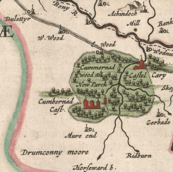
Image: Bleau's section of Cumbernauld

Size of this preview: 602 × 600 pixels. Other resolutions: 241 × 240 pixels | 836 × 833 pixels.
Original image (836 × 833 pixels, file size: 1.07 MB, MIME type: image/png)
Description: Blaeu's map based on Pont's original of Stirlingshire showing the area around Cumbernauld.
Title: Bleau's section of Cumbernauld
Credit: Original publication: based on Pont's research Immediate source: https://commons.wikimedia.org/wiki/File:Blaeu_-_Atlas_of_Scotland_1654_-_STERLINENSIS_-_Stirlingshire.jpg
Author: Blaeu (Life time: 23 September 1596 – 21 December 1673)
Usage Terms: Public domain in the United States
License: PD-US-expired
License Link: //en.wikipedia.org/wiki/File:Bleau%27s_section_of_Cumbernauld.png
Image usage
The following page links to this image:

All content from Kiddle encyclopedia articles (including the article images and facts) can be freely used under Attribution-ShareAlike license, unless stated otherwise.
