Image: Blazed alder snotel
Blazed_alder_snotel.jpg (400 × 532 pixels, file size: 38 KB, MIME type: image/jpeg)
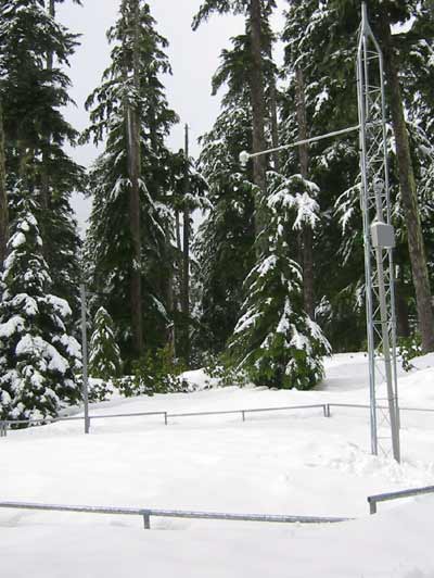
Description: Snow telemetry (SNOTEL) station near Blazed Alder Creek in northwest Oregon, United States. At 3,650 feet (1,110 m), the station is the highest above sea level of the three SNOTELs in the Bull Run River watershed.
Title: Blazed alder snotel
Credit: Blazed Alder SNOTEL, Natural Resources Conservation Service of the U.S. Department of Agriculture
Author: Unknown authorUnknown author
Usage Terms: Public domain
License: Public domain
Attribution Required?: No
Image usage
The following page links to this image:

All content from Kiddle encyclopedia articles (including the article images and facts) can be freely used under Attribution-ShareAlike license, unless stated otherwise.

