
Image: BlankMapTurkeyProvinces

Size of this preview: 800 × 391 pixels. Other resolutions: 320 × 156 pixels | 1,024 × 500 pixels.
Original image (1,024 × 500 pixels, file size: 35 KB, MIME type: image/png)
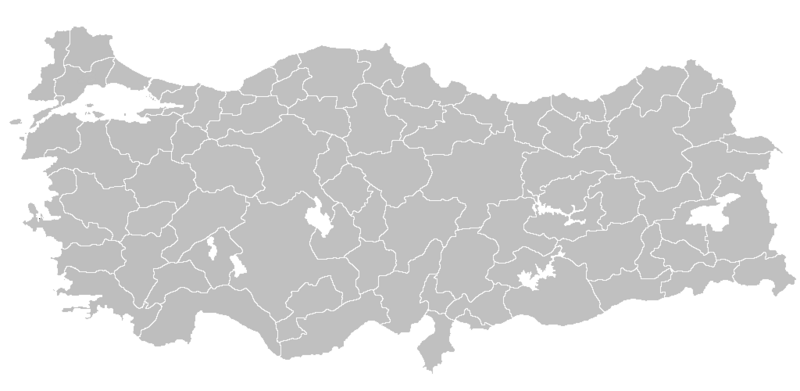
Description: Blank map of Republic of Turkey's provinces. The regions are carefully separated on per pixel basis and ready for filling in with a paint tool.
Title: BlankMapTurkeyProvinces
Credit: Self drawn from scratch, based on data from official Turkish motorway network map
Author: Atilim Gunes Baydin
Permission: I grant permission for anyone to use this under the terms of GFDL license, see below
Usage Terms: Creative Commons Attribution-Share Alike 3.0
License: CC-BY-SA-3.0
License Link: http://creativecommons.org/licenses/by-sa/3.0/
Attribution Required?: Yes
Image usage
The following 2 pages link to this image:

All content from Kiddle encyclopedia articles (including the article images and facts) can be freely used under Attribution-ShareAlike license, unless stated otherwise.