
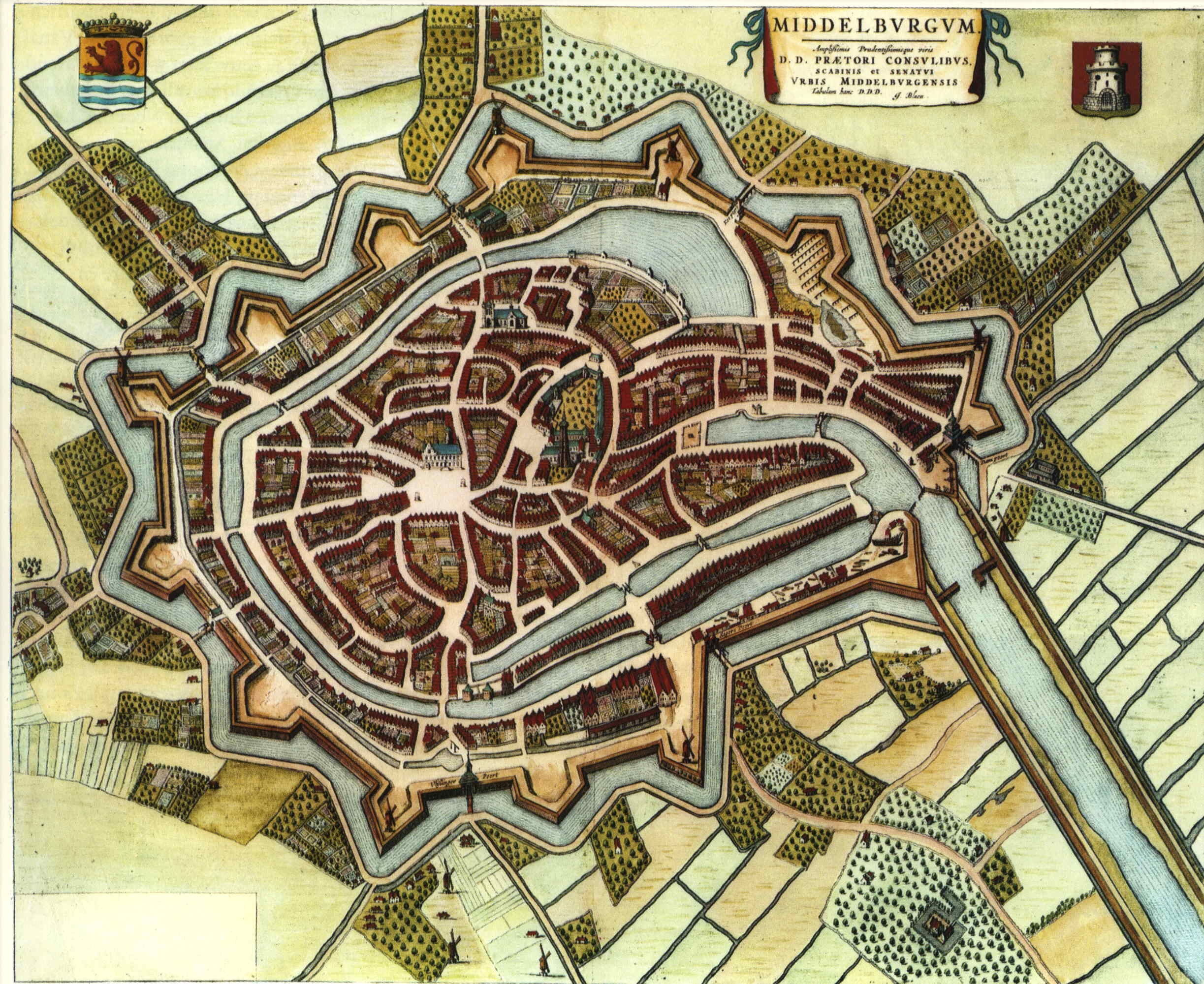
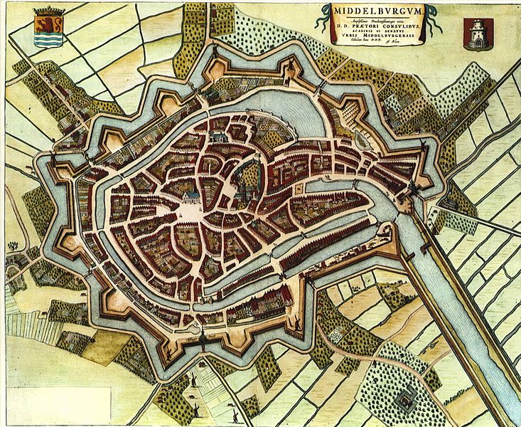
Image: Blaeu 1652 - Middelburg
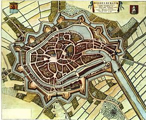
Size of this preview: 733 × 600 pixels. Other resolutions: 293 × 240 pixels | 2,446 × 2,001 pixels.
Original image (2,446 × 2,001 pixels, file size: 614 KB, MIME type: image/jpeg)
Description: Coloured map of Middelburg, The Netherlands
Title: Blaeu 1652 - Middelburg
Credit: Blaeu's Toonneel der Steden (Dutch city maps, Edited by Willem and Joan Blaeu), 1652. University of Groningen
Author: Willem Blaeu
Usage Terms: Public domain
License: Public domain
Attribution Required?: No
Image usage
The following 2 pages link to this image:

All content from Kiddle encyclopedia articles (including the article images and facts) can be freely used under Attribution-ShareAlike license, unless stated otherwise.