
Image: Black Bridge

Size of this preview: 796 × 600 pixels. Other resolutions: 319 × 240 pixels | 3,600 × 2,713 pixels.
Original image (3,600 × 2,713 pixels, file size: 10.36 MB, MIME type: image/jpeg)
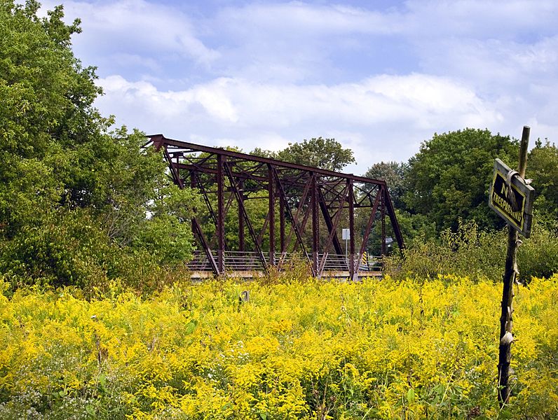
Description: The Black Bridge was constructed in 1916, but there is evidence of a wooden bridge on this site as early as 1910. Historically, Black Bridge Road was called Block Line and was an important boundary in Waterloo County. It divided Wilson's Upper Block from Wilson's Lower Block, and served as a point of reference on early maps, dating back to 1805.
Title: Black Bridge
Credit: Own work
Author: Ian Furst
Usage Terms: Creative Commons Attribution-Share Alike 3.0
License: CC BY-SA 3.0
License Link: https://creativecommons.org/licenses/by-sa/3.0
Attribution Required?: Yes
Image usage
The following page links to this image:

All content from Kiddle encyclopedia articles (including the article images and facts) can be freely used under Attribution-ShareAlike license, unless stated otherwise.