
Image: Berners Bay map

Size of this preview: 412 × 599 pixels. Other resolutions: 165 × 240 pixels | 417 × 606 pixels.
Original image (417 × 606 pixels, file size: 41 KB, MIME type: image/png)
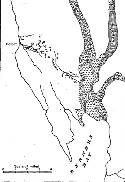
Description: Berners Bay map
Title: Berners Bay map
Credit: USGS Bulletin 287, The Juneau Gold Belt, Alaska
Author: Arthur C. Spencer
Usage Terms: Public domain
License: Public domain
Attribution Required?: No
Image usage
The following page links to this image:

All content from Kiddle encyclopedia articles (including the article images and facts) can be freely used under Attribution-ShareAlike license, unless stated otherwise.