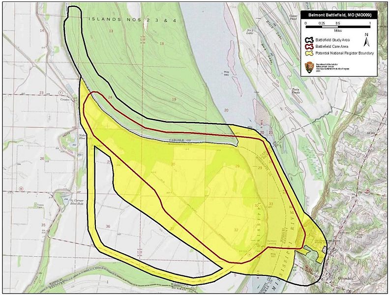
Image: Belmont Battlefield Missouri

Description: Map of battlefield core and study areas. The revised Study Area represents the Mississippi river’s course as it flowed in 1861 and includes expanded boundaries that incorporate the US naval movements on the river. The ABPP also expanded the Study Area to include the location where Confederate reinforcements crossed the river from Columbus, Kentucky; the fortifications near Columbus known as the “Iron Bluffs;” and the 27th Illinois Infantry’s route of withdrawal to the army’s landing point on the river (the 27th became separated from the main Union force during the battle). The ABPP also expanded the Core Area to represent the range of Confederate guns firing from the “Iron Bluffs” and the range of the guns on board the USS Tyler and the USS Lexington, which provided covering fire for the Federal retreat.
Title: Belmont Battlefield Missouri
Credit: National Park Service
Author: American Battlefield Protection Program
Usage Terms: Public domain
License: Public domain
Attribution Required?: No
Image usage
The following page links to this image:

