
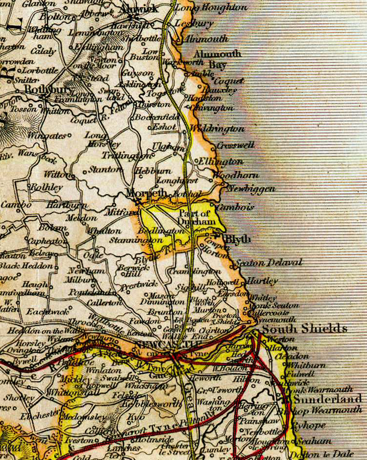
Image: Bedlingtonshire, from Betts's Family Atlas, 1846
Size of this preview: 478 × 599 pixels. Other resolutions: 191 × 240 pixels | 750 × 940 pixels.
Original image (750 × 940 pixels, file size: 1.16 MB, MIME type: image/jpeg)
Description: Detail of plate "The Northern Part of England" from Betts's Family Atlas, 1846
Title: Bedlingtonshire, from Betts's Family Atlas, 1846
Credit: Betts's Family Atlas, 1846
Author: Betts
Permission: CC BY-SA 4.0. Work was published before 1923
Usage Terms: Creative Commons Attribution-Share Alike 4.0
License: CC BY-SA 4.0
License Link: https://creativecommons.org/licenses/by-sa/4.0
Attribution Required?: Yes
Image usage
The following page links to this image:

All content from Kiddle encyclopedia articles (including the article images and facts) can be freely used under Attribution-ShareAlike license, unless stated otherwise.