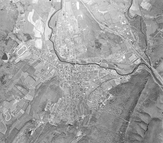
Image: Bedford Pennsylvania 1969 1VBSD00010087

Size of this preview: 684 × 600 pixels. Other resolutions: 274 × 240 pixels | 6,500 × 5,700 pixels.
Original image (6,500 × 5,700 pixels, file size: 17.79 MB, MIME type: image/jpeg)
Description: Aerial photo of Bedford, Pennsylvania, acquired from an altitude of approximately 13500 feet. The Raystown Branch of the Juniata River flows from top center to right center, and the Pennsylvania Turnpike is visible in upper right. The mountain in the lower right is Evitts Mountain.
Title: Bedford Pennsylvania 1969 1VBSD00010087
Credit: EarthExplorer, USGS
Author: USGS
Usage Terms: Public domain
License: Public domain
Attribution Required?: No
Image usage
The following page links to this image:

All content from Kiddle encyclopedia articles (including the article images and facts) can be freely used under Attribution-ShareAlike license, unless stated otherwise.
