
Image: Bedford-co-rt30-warrior
Size of this preview: 800 × 284 pixels. Other resolutions: 320 × 114 pixels | 2,046 × 726 pixels.
Original image (2,046 × 726 pixels, file size: 280 KB, MIME type: image/jpeg)
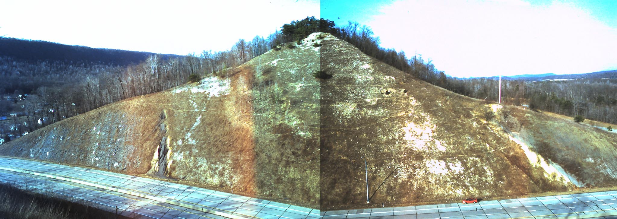
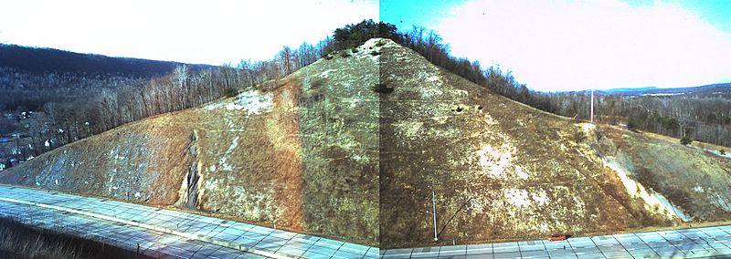
Description: Photomosaic facing north of roadcut along U.S. Route 30 (Everett bypass) through Warrior Ridge, Bedford County, Pennsylvania, showing the lower Devonian sequence from the Keyser Formation and Corriganville-New Creek Limestones at left, to the Mandata Shale, to the Ridgeley Sandstone to the Needmore Shale at right, and Tussey Mountain in background at left. View from same outcrop
Title: Bedford-co-rt30-warrior
Credit: Own work Jstuby at en.wikipedia
Author: Jim Stuby
Usage Terms: Public domain
License: Public domain
Attribution Required?: No
Image usage
The following page links to this image:

All content from Kiddle encyclopedia articles (including the article images and facts) can be freely used under Attribution-ShareAlike license, unless stated otherwise.