
Image: Beaumont, New Zealand aerial photo 2006
Size of this preview: 800 × 562 pixels. Other resolutions: 320 × 225 pixels | 1,327 × 932 pixels.
Original image (1,327 × 932 pixels, file size: 529 KB, MIME type: image/jpeg)
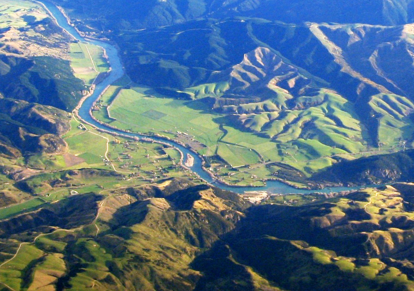
Description: Aerial photo of Beaumont area in Otago, New Zealand, looking southwest, from a commerical jet flight between Dunedin and Sydney. State Highway 8 runs from left to right across the photo (only visible in the right half), and crosses the Clutha river just below centre.
Title: Beaumont, New Zealand aerial photo 2006
Credit: Own work
Author: Benchill
Usage Terms: Creative Commons Attribution-Share Alike 3.0
License: CC BY-SA 3.0
License Link: http://creativecommons.org/licenses/by-sa/3.0
Attribution Required?: Yes
Image usage
The following 2 pages link to this image:

All content from Kiddle encyclopedia articles (including the article images and facts) can be freely used under Attribution-ShareAlike license, unless stated otherwise.