
Image: Barunga West LGA
No higher resolution available.
Barunga_West_LGA.png (400 × 456 pixels, file size: 30 KB, MIME type: image/png)
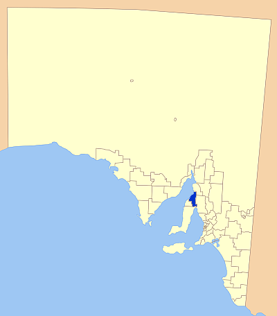
Description: Map of South Australia showling the location of the Barunga West Local Government Area. A modification of GDFL map by Astrokey44; found here: http://commons.wikimedia.org/wiki/Image:SA_LGA_blank.png
Title: Barunga West LGA
Credit: Own work
Author: Kare Kare
Usage Terms: Public domain
License: Public domain
Attribution Required?: No
Image usage
The following page links to this image:

All content from Kiddle encyclopedia articles (including the article images and facts) can be freely used under Attribution-ShareAlike license, unless stated otherwise.