Image: BarlowPeakYNP1967

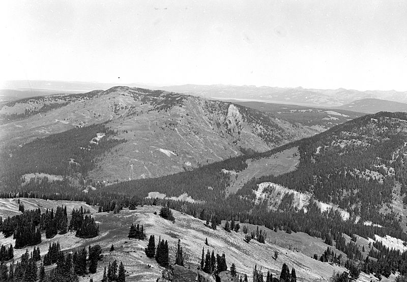
Description: Yellowstone National Park, Wyoming. Northeast from the top of Mount Hancock. Unconformable contact between the Bacon Ridge Sandstone and the Harebell Formation; Chicken Ridge and an exposure of 3,000 feet of the Harebell, Sickle Creek, Barlow Peak; and an exposure of 2,700 feet of Harebell, Cody Shale, and the Southeast Arm of Yellowstone Lake. Lower part of the type section of the Harebell Formation is at the extreme right margin. Circa 1967. Figure 5, U.S. Geological Survey
Title: BarlowPeakYNP1967
Credit: Downloaded from USGS: http://libraryphoto.cr.usgs.gov/htmllib/batch91/batch91j/batch91z/batch91/ljd00087.jpg
Author: J. D. Love
Usage Terms: Public domain
License: Public domain
Attribution Required?: No
Image usage
The following page links to this image:

