
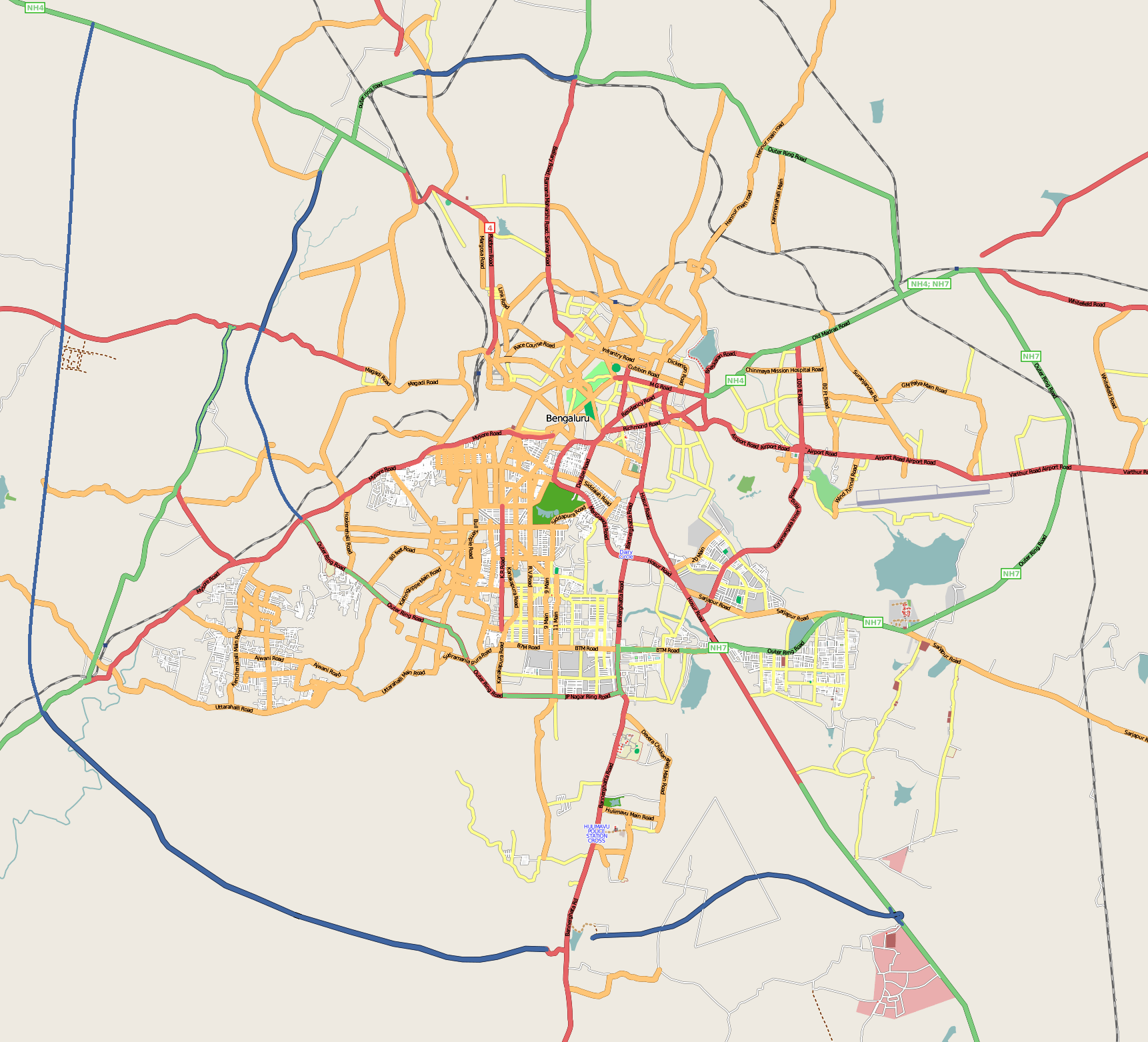
Image: Bangalore street Map
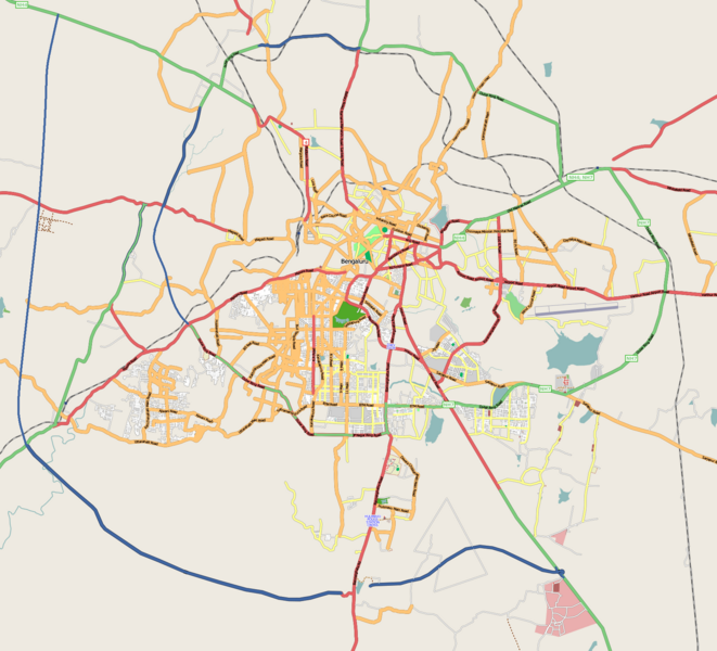
Size of this preview: 661 × 600 pixels. Other resolutions: 264 × 240 pixels | 1,722 × 1,563 pixels.
Original image (1,722 × 1,563 pixels, file size: 855 KB, MIME type: image/png)
Description: Map of en:Bangalore, India. Coordinates: top=13.06, bottom=12.83, left=77.46, right=77.72.
Title: Bangalore street Map
Credit: openstreetmap.org
Author: Collaboratively created by the OpenStreetMap community using only free map sources and manual GPS surveying to build the map from scratch. Raise lkblr grabbed this image from OpenStreetMap
Permission: See OpenStreetMap License for details.
Usage Terms: Creative Commons Attribution 2.0
License: CC BY 2.0
License Link: https://creativecommons.org/licenses/by/2.0
Attribution Required?: Yes
Image usage
The following page links to this image:

All content from Kiddle encyclopedia articles (including the article images and facts) can be freely used under Attribution-ShareAlike license, unless stated otherwise.