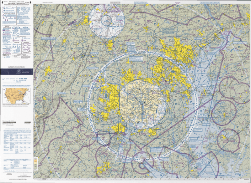
Image: Baltimore-Washington TAC 84

Size of this preview: 800 × 585 pixels. Other resolutions: 320 × 234 pixels | 4,000 × 2,924 pixels.
Original image (4,000 × 2,924 pixels, file size: 7.02 MB, MIME type: image/png)
Description: VFR Terminal Area Raster Aeronautical Chart Baltimore/Washington, 82nd edition. This map is valid until 26 July 2012; be sure to get the newest edition at the official FAA website
Title: Baltimore-Washington TAC 84
Credit: Baltimore-Washington_TAC_84.tif in Baltimore-Washington_TAC_84.zip. Note: The ZIP-File may become unavailable when the map is updated, newer editions will be available here
Author: US Department of Transportation, Federal Aviation Administration, National Aeronautical Navigation Services
Usage Terms: Public domain
License: Public domain
Attribution Required?: No
Image usage
The following page links to this image:

All content from Kiddle encyclopedia articles (including the article images and facts) can be freely used under Attribution-ShareAlike license, unless stated otherwise.
