
Image: Atakora communes

Size of this preview: 776 × 600 pixels. Other resolutions: 311 × 240 pixels | 1,056 × 816 pixels.
Original image (1,056 × 816 pixels, file size: 32 KB, MIME type: image/png)
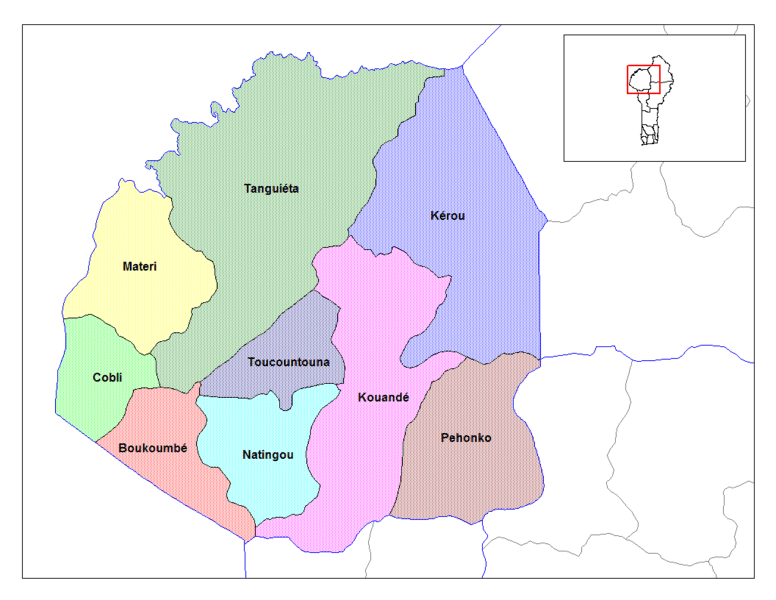
Description: Map of the communes of the department of Atakora, Benin. Created by Rarelibra for public domain use. Created using MapInfo Professional v7.5 and various mapping resources.
Title: Atakora communes
Credit: Transferred from en.wikipedia to Commons.
Author: Rarelibra at English Wikipedia
Usage Terms: Public domain
License: Public domain
Attribution Required?: No
Image usage
The following page links to this image:

All content from Kiddle encyclopedia articles (including the article images and facts) can be freely used under Attribution-ShareAlike license, unless stated otherwise.