Image: At-crossingguyot1

Size of this preview: 800 × 600 pixels. Other resolutions: 320 × 240 pixels | 1,200 × 900 pixels.
Original image (1,200 × 900 pixels, file size: 859 KB, MIME type: image/jpeg)
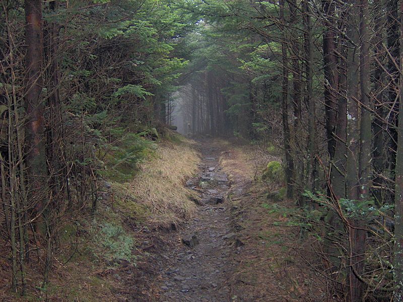
Description: The Appalachian Trail crossing the northern slope of Mount Guyot in the Great Smoky Mountains. As human habitation never encroached very far into the Eastern Smokies, the highland conifer forest here remains very dense. This point is at an elevation of appx. 6,300 feet/1,920 meters. The elevation of Guyot is 6,621 feet/2,018 meters.
Title: At-crossingguyot1
Credit: Own work
Author: Brian Stansberry
Usage Terms: Creative Commons Attribution 2.5
License: CC BY 2.5
License Link: https://creativecommons.org/licenses/by/2.5
Attribution Required?: Yes
Image usage
The following page links to this image:

All content from Kiddle encyclopedia articles (including the article images and facts) can be freely used under Attribution-ShareAlike license, unless stated otherwise.
