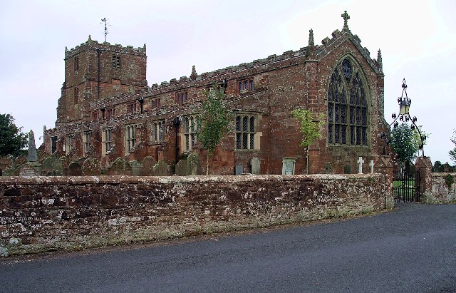
Image: Arthuret Parish Church - geograph.org.uk - 17681
Arthuret_Parish_Church_-_geograph.org.uk_-_17681.jpg (640 × 411 pixels, file size: 100 KB, MIME type: image/jpeg)
Description: Arthuret Parish Church. Arthuret Church, about half a mile south of Longtown, dates from 1609. The name may be a corruption of "Arthur's Head", the name given to the land on which it is built. The area has many associations with King Arthur, and it is rumoured that his head is buried at Arthuret.
Title: Arthuret Parish Church - geograph.org.uk - 17681
Credit: From geograph.org.uk
Author: Lynne Kirton
Usage Terms: Creative Commons Attribution-Share Alike 2.0
License: CC BY-SA 2.0
License Link: https://creativecommons.org/licenses/by-sa/2.0
Attribution Required?: Yes
Image usage
The following page links to this image:

All content from Kiddle encyclopedia articles (including the article images and facts) can be freely used under Attribution-ShareAlike license, unless stated otherwise.

