Image: Arnmannoch, Bogrie Lane fields - geograph.org.uk - 687616
Arnmannoch,_Bogrie_Lane_fields_-_geograph.org.uk_-_687616.jpg (640 × 480 pixels, file size: 71 KB, MIME type: image/jpeg)
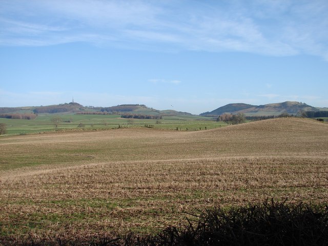
Description: Arnmannoch: Bogrie Lane fields View over the eastern fields of Arnmannoch toward the coppices on Bogrie Lane (stream). The hills in the distance are (left to right) See Morris (WT mast), Beacon, West or Castle, and Nunland. The two tiny specks in the middle above the hills are RAF low-flying aircraft.
Title: Arnmannoch, Bogrie Lane fields - geograph.org.uk - 687616
Credit: From geograph.org.uk
Author: Chris Newman
Usage Terms: Creative Commons Attribution-Share Alike 2.0
License: CC BY-SA 2.0
License Link: https://creativecommons.org/licenses/by-sa/2.0
Attribution Required?: Yes
Image usage
The following page links to this image:

All content from Kiddle encyclopedia articles (including the article images and facts) can be freely used under Attribution-ShareAlike license, unless stated otherwise.

