
Image: Ansbach-Bayreuth
No higher resolution available.
Ansbach-Bayreuth.png (361 × 359 pixels, file size: 44 KB, MIME type: image/png)
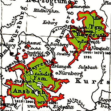
Description: Map of the principalities of Ansbach and Bayreuth from the Putzgers Historischer Schul-Atlas (Putzger History School Atlas)
Title: Ansbach-Bayreuth
Credit: Own work
Author: Friedrich Wilhelm Putzger
Usage Terms: Public domain
License: Public domain
Attribution Required?: No
Image usage
The following page links to this image:

All content from Kiddle encyclopedia articles (including the article images and facts) can be freely used under Attribution-ShareAlike license, unless stated otherwise.