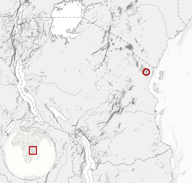
Image: Amanipodagrion gilliesi distribution map

Description: Amanipodagrion gilliesi distribution map. Cartographic data : Equirectangular projection Limits of the map : 0.25° N, 28° W, 42° E, -13° S. Center : -6.375, 35
Title: Amanipodagrion gilliesi distribution map
Credit: Distribution data: IUCN red list of threatened species Background: Tanzania relief location map.svg by Sémhur Location globe: Tanzania on the globe (Zambia centered).svg: TUBS (talk)
Author: Map: Sémhur (talk) UICN Assessor: Clausnitzer, V. UICN Reviewers: Tchibozo, S., Ogbogu, S.S. & Smith, K. (IUCN Freshwater Biodiversity Unit)
Usage Terms: Creative Commons Attribution-Share Alike 3.0
License: CC BY-SA 3.0
License Link: https://creativecommons.org/licenses/by-sa/3.0
Attribution Required?: Yes
Image usage
The following page links to this image:

