
Image: Alberta Localities
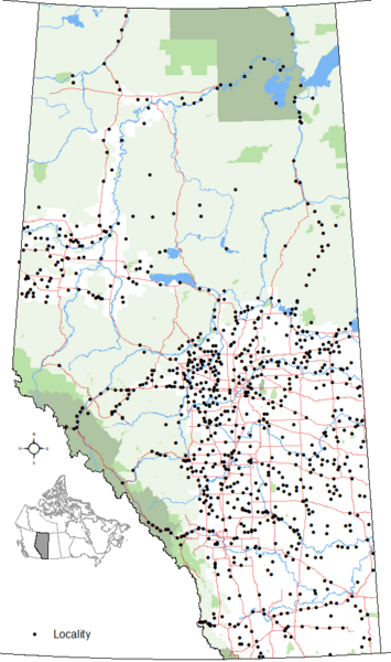
Size of this preview: 355 × 600 pixels. Other resolutions: 142 × 240 pixels | 557 × 941 pixels.
Original image (557 × 941 pixels, file size: 39 KB, MIME type: image/png)
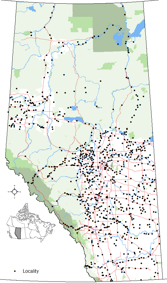
Description: Map showing locations of Alberta's 864 localities as of October 2020 per Alberta's Geographical Names System with base reference features (major lakes and rivers, provincial 1-216 highway series, national parks, provincial protected areas and green and white areas).
Title: Alberta Localities
Credit: Own work
Author: Hwy43
Usage Terms: Creative Commons Attribution 3.0
License: CC BY 3.0
License Link: https://creativecommons.org/licenses/by/3.0
Attribution Required?: Yes
Image usage
The following page links to this image:

All content from Kiddle encyclopedia articles (including the article images and facts) can be freely used under Attribution-ShareAlike license, unless stated otherwise.