
Image: Airedale 1922 OS Map

Size of this preview: 800 × 600 pixels. Other resolutions: 320 × 240 pixels | 1,200 × 900 pixels.
Original image (1,200 × 900 pixels, file size: 2.53 MB, MIME type: image/png)
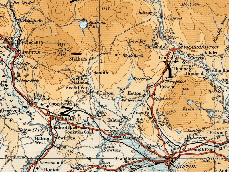
Description: Map of the Airedale area taken from the 1922 Ordnance Survey Atlas of England and Wales
Title: Airedale 1922 OS Map
Credit: http://www.guillemotdesign.org/maps/images/folio6left_300.jpg
Author: JD554
Usage Terms: Public domain
License: Public domain
Attribution Required?: No
Image usage
The following page links to this image:

All content from Kiddle encyclopedia articles (including the article images and facts) can be freely used under Attribution-ShareAlike license, unless stated otherwise.